Campus-Map from the opening in 1998, routes marked
Campus opening map from 1998, the color-coded routing of Viktor E.-Frankl-Weg (N-S) and Leopold-Bauer-Werg (E-W)
When the University of Vienna campus was opened in 1998, two central access routes were named to illustrate the opening up of the long impassable hospital site: the north-south access route was named "Viktor-E.-Frankl-Weg" (marked in yellow) after the therapist Viktor Frankl, while the east-west access route was named "Leopold-Bauer-Weg" (marked in red) after the National Bank architect Leopold Bauer. The latter led from Spitalgasse and Corpsecourt (courtyard 10) past the former pathology ("brain research center") and past the "folls tower" in courtyard 13 and the new banknote printing site built by Clemens Holzmeister to the corner of Van-Swieten-Gasse/Garnisongasse. The Frankl-Weg led from the corner of Alser Straße/Spitalgasse through courtyards 1, 7, 6 and 13 past the "Narrenturm" to the exit into Sensengasse. These paths were specially illuminated and were to remain accessible even if the area was closed (the east-west access is not handicapped accessible due to a staircase). They intersected at the Marpe Lanefesch monument in courtyard 6.
The two paths were also marked on all orientation boards and marked on site with retro street signs in Fraktur script. Today, 25 years later, however, the two paths have increasingly disappeared from our perception and the orientation plans, and are therefore hardly ever used for orientation in everyday life.
(Subsequent color marking: Sara Vorwalder, in the original plan the two paths are marked by a line of small circles and the written path names)
- plan
Related content
-
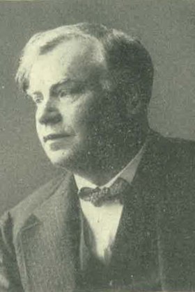
Leopold Bauer
1.9.1872–7.10.1938
-
Leopold Bauer
1.9.1872–7.10.1938

